Colorado-based mapping and sensing expert Terra Intel provides full data intelligence to customers to help find and extract resources. Deploying various aerial and ground vehicles, sensors and specialists, the company can offer high-resolution data sets that can aid resource decision making processes. Terra Intel CEO Mike Hanley tells us more.
Norbert Neumann: Why is it important for militaries to know the rare earth elements and other natural resources content of certain areas and why?
Mike Hanley: If you look back at World War Two and World War One, it was some of the leaders of the world that were on opposite sides who were competing for resources globally. Those resources were critical for weapons and the machines of war; all the components that go into them, all the materials for the individual items. For example, in the US, rubber and everything else was rationed to support the war effort.
Those raw materials are critical and if they’re not grown, it’s either drilled or mind and that’s the nature of our planet. Every touch screen that the military would use, every supercomputing apparatus that’s onboard UAVs or jet fighters or any of our intelligent sensors, the glass that’s on them is doped with a rare earth element or a type of mineral for certain properties. The surfaces of jet engines are also coated with rare earth elements so that they can withstand heat.
China controls about 80% of these resources globally. When you’re going to replace things in conflict, or even ramping up for global scale warfare or even defence, you will have to have these resources. If your supplier that controls 80% of the material quantity world markets decided to cut you off, that would be a catastrophic adjustment.
Terra-Intel is also focusing on lithium, is it important because of the increasing electrification and hybridisation of vehicles?
Yes, and UAVs all run on components to that effect, too. But just the modernising of our economies, the new technologies, the new energies all require these minerals. And if we’re just going to compete in an economic sphere, we need to have these minerals for strategic reasons as well as for the advancement of our way of life.

Your company is also providing geological, geophysical and mapping services is it something that defence agencies and organisations are interested in?
Yes, we usually work with large suppliers. Type of partners that would do industrial supply, with financial backing to build mega factories for things that foreign and domestic militaries would use and consume – mission-critical type of things. We are working with US domestic and international critical & strategic mineral development groups supply chain to re-establish diversity in the supply chain, and critical mineral projects are coming online in 2022-2023.
When you look at strategic metals, you have to plan for who would produce them. Miners produce the material, and some refiner makes the products. Just in the US paradigm, in the 70s and 80s, we shipped all of the refining capacity for these types of minerals offshore. China bought and controls a lot of them. And now the world is running around trying to lay hands on resources. But the US government is also helping finance people to come back and build beneficiation and refining capabilities. In the US alone, there’s $17 billion set aside through the Department of Energy to build refining capacity back.
Can you elaborate on some of the radar and sensor technologies that your company is using?
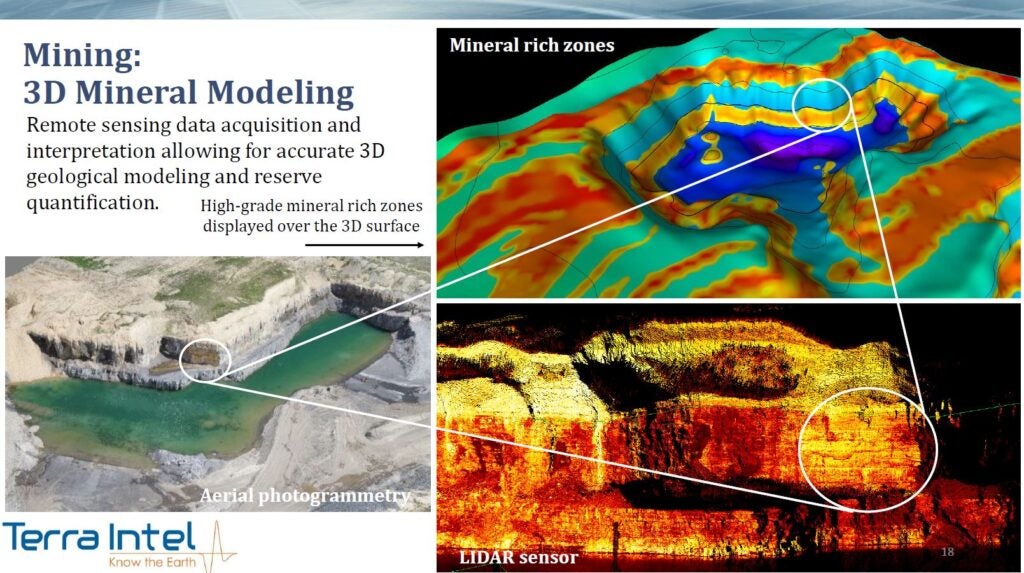
We use airborne magnetometers, hyperspectral sensors which are a remote sensing technology, like measurement and signatures intelligence, for mineral detection. It can be used for a lot of different things in the military and civilian world. We also use airborne and ground-based geophysics like electrical and magnetic geophysics we call EM. And also ground-based 3D geophysical seismic sensors.
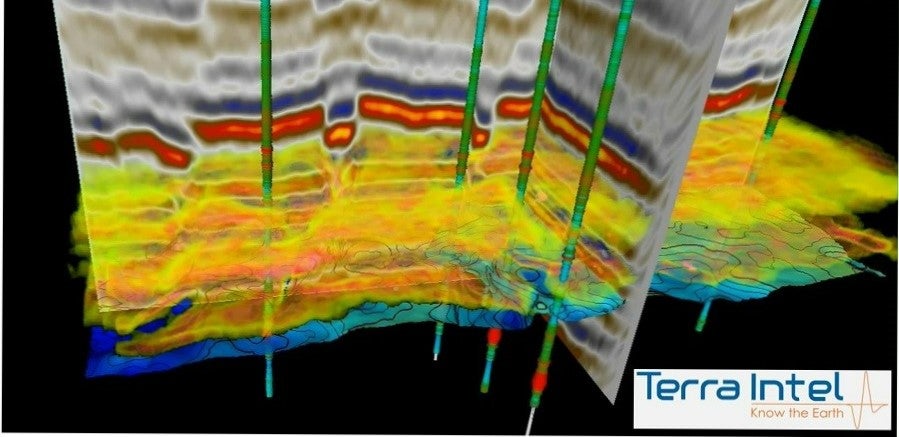
These give us three-dimensional geo-bodies. So that we can tell the anticipated volume and shape of the deposits and depths. Each time we come down from a satellite to an aircraft, to a drone or to the ground with a geophysical apparatus, the detail-level gets higher resolution. We can take samples and then we would, potentially, drill the deposits if we decided [they were viable].
We acquire the airborne data, my group does the analytics and then we’ll come in and we’ll do extensive ground truthing, sampling, geochemistry. Then we get direct geochemical measurements with handheld spectroradiometers or X-ray fluorescence guns that tell what elements are in the rock.
Do you think that quantum will play any significant role in this area in the next five years?
Absolutely. I started using advanced computers and artificial neural networks (ANN) in the 80s. It included quantum organised mapping in an ANN. When we were doing this on huge cubes of data, it would take weeks to process them. We did this for the military intelligence domain and for mineral resources. If we are helping another government stand up a country after they’ve gone through a revolution, for instance, they have to have a tax base and a resource that creates jobs and revenue.
Natural resource mapping goes along with this and the intelligence services are interested in it. Science kept pushing the edge and quantum computing came in. Qubit tech computing came in and it dramatically improved the processing capability to where we can use an artificial neural network. We can use AI, self-organised mapping and ANNs to rapidly process huge amounts of data that you get from the new sensors that would be overwhelming for normal computing systems. Quantum computing is going to drive this forward.


