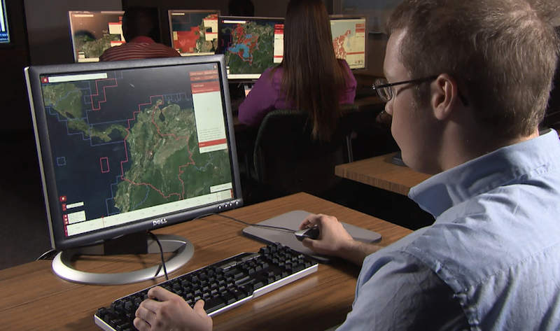
Harris has secured three contracts, with a total ceiling value of $1.5bn, to deliver geospatial data services to the National Geospatial-Intelligence Agency (NGA) for use by the US military across the globe.
Under the three multi-award indefinite delivery / indefinite quantity (IDIQ) contracts, the company will be responsible for providing the services to NGA for up to ten years.

Discover B2B Marketing That Performs
Combine business intelligence and editorial excellence to reach engaged professionals across 36 leading media platforms.
As part of the project, Harris will be committed to develop, manage and distribute high-quality geospatial-intelligence (GEOINT) data that will also be used by the US intelligence community.
Work will be carried out under contracts that cover all three areas of the NGA’s JANUS programme – geography, imagery and elevation.
The programme updates and maintains geospatial databases of the world that can be accessed in near-real-time to address intelligence, operational and crisis needs.
Using its predictive analytics technology, the company will assess the health of NGA databases.

US Tariffs are shifting - will you react or anticipate?
Don’t let policy changes catch you off guard. Stay proactive with real-time data and expert analysis.
By GlobalDataThe Cloud-based tools provided by the firm will help validate and correct the information, thereby precisely identifying locations that require updates.
Harris Space and Intelligence Systems president Bill Gattle said: “Winning JANUS continues our long-standing legacy of providing high-quality, responsive GEOINT and analytics to the intelligence and military communities.
“Our analytics technology provides NGA with fit-for-purpose data, reduced production costs and Cloud-based access to geospatial products and content.”
The company is currently investing in new technologies that would improve the speed and accuracy of providing GEOINT products.
For nearly 20 years, the company has collaborated with the NGA to provide automated geospatial data processing, data management, and geospatial systems design and development.


