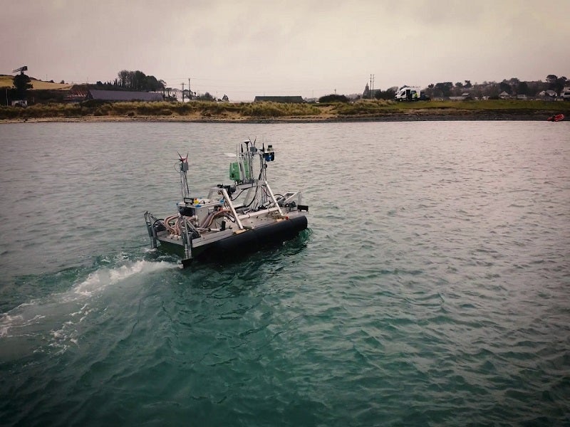
Argonaut is a fully autonomous amphibious survey vehicle being developed by Ultrabeam Hydrographic. It can conduct manned and unmanned surveys on land or water.
The unmanned vehicle is proposed for the UK Government’s ‘Map the Gap Challenge’, an initiative to improve the British Army’s wide wet gap crossing capability.
Details of the Map the Gap competition
The ‘Map the Gap’ competition was launched by the UK Ministry of Defence’s Defence and Security Accelerator (DASA), on behalf of the Defence Science and Technology Laboratory (DSTL), for the development of semi-autonomous reconnaissance and survey systems.
The DSTL’s effort will deliver a remote, beyond line-of-sight (BLOS) system to the British Army to survey multiple crossing sites efficiently.
Ultrabeam Hydrographic was one of the three small to medium enterprises that secured contracts worth £2m ($2.36m) during the second phase of the competition to develop autonomous wet gap survey systems to allow the army to cross bogs, rivers, streams, and other wet gaps.
Argonaut design and features
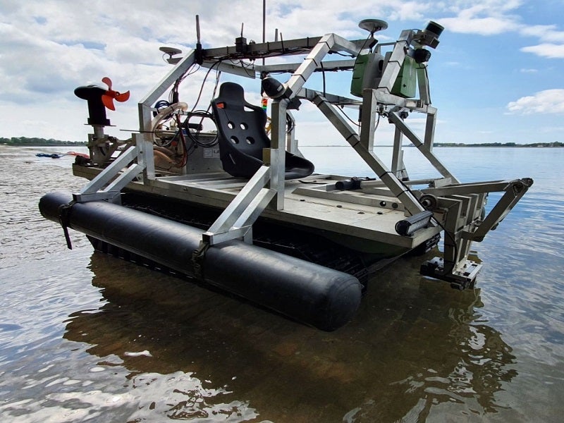
The Argonaut will have a length of 3m, a width of 1.45m, and a height of 1.8m. The kinematic survey vehicle has amphibious capabilities. It is integrated with advanced technologies, such as artificial intelligence (AI) and machine learning, to support unmanned operations. The vehicle will be able to protect the troops by eliminating the need for manned reconnaissance.
The amphibious vehicle will provide a versatile working solution to meet the different survey requirements of the users, says Ultrabeam Hydrographic.
Payload details
The unmanned platform will be fitted with Norbit 3D multi-room sonar, which can measure 50 swaths a second. The vehicle will additionally be integrated with three laser scanners.
The payload will also include a Leica laser that can measure a million points a second and a short-range Sick laser scanner that can scan the area beneath the surface of the vehicle. A third scanner, Velodyne vlp16, will provide an instant 3D view of the environment at the frequency of 20Hz.
Furthermore, the vehicle will be installed with an ADCP Doppler current profiler for measuring the intensity of the water current and the full profile of the water body.
Navigation system aboard Argonaut
The vehicle will be integrated with a high-end inertial navigation system from Applanix. It will be able to measure the profiles at the rate of 200 times a second. The data collected can be collated and computed to obtain a real-time 3D navigation and data display.
Ground control station
The vehicle can be remotely controlled by a ground control station (GCS) that will receive the data via a wi-fi feed. The data will be collated onto a 2D plan view, and the calculations for creating a 3D view of the cross profiles can be made immediately.
The information gathered by the vehicle can also be shared with a desktop at the mobile command centre. It will be processed to obtain high-resolution data with a 3D rendering for detailed measurement and better interpretation.
Propulsion system and mobility
The propulsion system of the Argonaut will include 48V Torqeedo cruise 4.0 motors with a rated power of 8hp, and 48V Tesla battery modules with a rated power output of 21.2kWh.
The battery modules can be charged from 10% to 90% in about two hours. The endurance of the vehicle is approximately 12 hours.
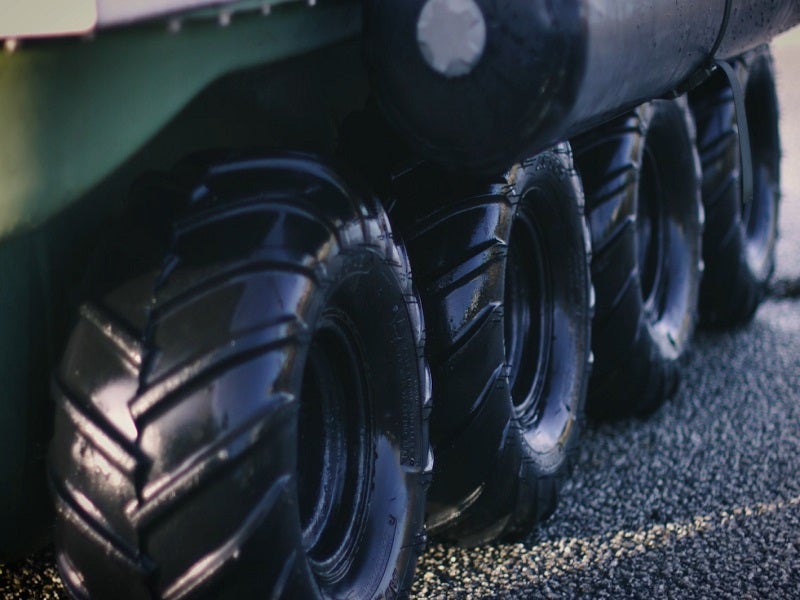
The eight-wheel drive vehicle will transition from land to water by changing the forward drive to twin electric thrusters. It is designed to sustain a water current of 3kt in waterbodies.
The autonomous vehicle’s maximum speed on the land will be 25.7km/h at 6,000rpm, while the maximum speed in water will be 7.24km/h.
The vehicle will have a high torque configuration and will be able to climb an incline of 45°.


